Climate warming to boost major hurricanes in active Atlantic seasons

oceans on map of world
Clouds from a HiFLOR global model simulation, showing three hurricanes in the Atlantic and one in West Pacific (Figure Remik Ziemlinski)

New NOAA research that looks at the devastating 2017 Atlantic hurricane season projects that if similar weather conditions occur in the future, it’s likely that the number of major hurricanes (category 3 and higher) would increase by two in a similar active year at the end of century.

This increase would be driven by predicted climate warming, according to the research appearing today in Science.

The finding was reported by a team at NOAA’s Geophysical Fluid Dynamics Laboratory (GFDL) that included lead author Hiroyuki Murakami, who conducted the research while an associate research scholar with the Program in Atmospheric and Oceanic Sciences at Princeton University

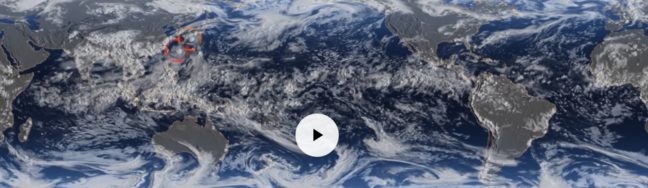
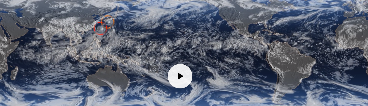
Last year’s six major Atlantic hurricanes included landfalling hurricanes Harvey, Irma and Maria that unleashed destruction on and caused loss of life in communities across Texas, Florida and Puerto Rico. The three hurricanes caused an estimated $265 billion in damages during a year that shattered all records for U.S. economic losses due to severe weather.

Global model identifies climate influence

Hiroyuki Murakami
Hiroyuki Murakami. Photo by Maria Setzer

Using a high-resolution global climate model called HiFLOR, developed at GFDL, scientists were able to accurately predict the active hurricane season in June 2017. Scientists then conducted additional experiments with HiFLOR that found it was a remarkably warm tropical Atlantic Ocean, relative to the global tropical ocean, which was the main driver of 2017 hurricane activity.

“This new method allows us to predict hurricane activity as the season is happening as well as take into consideration the likely contribution of climate warming,” said Murakami, a climate researcher at GFDL. NOAA scientists use ocean temperature data showing the relative warmth of the tropical Atlantic to help create vital hurricane season outlooks.

In addition to Murakami, the research team included Emma Levin of Paul D. Schreiber High School in Port Washington, NY, Thomas Delworth and Richard Gudgel of GFDL, and Pang-Chi Hsu of Nanjing University of Information Science and Technology, China.

The study, “Dominant Effect of Relative Tropical Atlantic Warming on Major Hurricane Occurrence,” by H. Murakami, E. Levin, T. L. Delworth, R. Gudgel and P-C Hsu, was published in the journal Science on Sept. 27, 2018.

Funding for this study was provided by the National Oceanic and Atmospheric Administration (NOAA).

Article courtesy of NOAA.


Grey Swans: Rare but predictable storms could pose big hazards (Nature Climate Change)

By John Sullivan, School of Engineering and Applied Science

Grey Swan events
Toward the end of this century (project here for the years 2068 to 2098) the possibility of storm surges of eight to 11 meters (26 to 36 feet) increases significantly in cities not usually expected to be vulnerable to tropical storms, such as Tampa, Florida, according to recent research in the journal Nature Climate Change.

Researchers at Princeton and MIT have used computer models to show that severe tropical cyclones could hit a number of coastal cities worldwide that are widely seen as unthreatened by such powerful storms.

The researchers call these potentially devastating storms Gray Swans in comparison with the term Black Swan, which has come to mean truly unpredicted events that have a major impact. Gray Swans are highly unlikely, the researchers said, but they can be predicted with a degree of confidence.

“We are considering extreme cases,” said Ning Lin, an assistant professor of civil and environmental engineering at Princeton. “These are relevant for policy making and planning, especially for critical infrastructure and nuclear power plants.”

In an article published Aug. 31 in Nature Climate Change, Lin and her coauthor Kerry Emanuel, a professor of atmospheric science at the Massachusetts Institute of Technology, examined potential storm hazards for three cities: Tampa, Fla.; Cairns, Australia; and Dubai, United Arab Emirates.

The researchers concluded that powerful storms could generate dangerous storm surge waters in all three cities. They estimated the levels of devastating storm surges occurring in these cities with odds of 1 in 10,000 in an average year, under current climate conditions.

Tampa Bay, for example, has experienced very few extremely damaging hurricanes in its history, the researchers said. The city, which lies on the central-west coast of Florida, was hit by major hurricanes in 1848 and in 1921.

The researchers entered Tampa Bay area climate data recorded between 1980 and 2005 into their model and ran 7,000 simulated hurricanes in the area. They concluded that, although unlikely, a Gray Swan storm could bring surges of up to roughly six meters (18 feet) to the Tampa Bay area. That level of storm surge could dwarf those of the storms of 1848 and 1921, which reached about 4.6 meters and 3.5 meters respectively.

The researchers said their model also indicates that the probability of such storms will increase as the climate changes.

“With climate change, these probabilities can increase significantly over the 21st century,” the researchers said. In Tampa, the current storm surge likelihood of 1 in 10,000 is projected to increase to between 1 in 3,000 and 1 in 1,100 by mid-century and between 1 in 2,500 and 1 in 700 by the end of the century.

The work was supported in part by Princeton’s Project X Fund, the Andlinger Center for Energy and the Environment’s Innovation Fund, and the National Science Foundation.

Read the abstract.

Ning Lin & Kerry Emanuel, “Grey swan tropical cyclones,” Nature Climate Change (2015); doi:10.1038/nclimate2777