![William Faden (1749-1836). "The Province of New Jersey, Divided into East and West, Commonly Called the Jerseys" ([London], December 1st, 1777) [Historic Maps Collection]. The map that settled the boundary between New Jersey and New York. 1777-faden-state-map](https://blogs.princeton.edu/rbsc/wp-content/uploads/sites/51/2013/12/1777-faden-state-map-219x300.jpg)
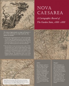
William Faden (1749-1836). “The Province of New Jersey, Divided into East and West, Commonly Called the Jerseys” ([London], December 1st, 1777) [Historic Maps Collection]. The map that settled the boundary between New Jersey and New York.
This comprehensive and extensively illustrated volume will introduce readers to the maps that charted the state’s development—from unexplored colonial territory to the first scientifically surveyed state in the Union. An introductory section on coastal charts, manuscript road maps, and early state maps will provide a historical background to the major focus of the book: the state’s first wall maps and county atlases. The large scale of these maps allowed their creators to include the names and locations of nineteenth-century merchants and farmers, hence personalizing local history. The maps will be supplemented with lithographs from the atlases and photographs of the locations today.

